Wildlife Tracker EO
“The Wildlife Tracker is offered as a customizable and personal cloud solution for geo-visualization, monitoring, Earth Observation, and data analytics”
Geospatial Visualization
Create your own maps and share them online with your personal link. Include selected individuals in your study area, analysis, or customized layers. The Wildlife Tracker receives real-time updates from Argos satellite live-feed from Movebank.
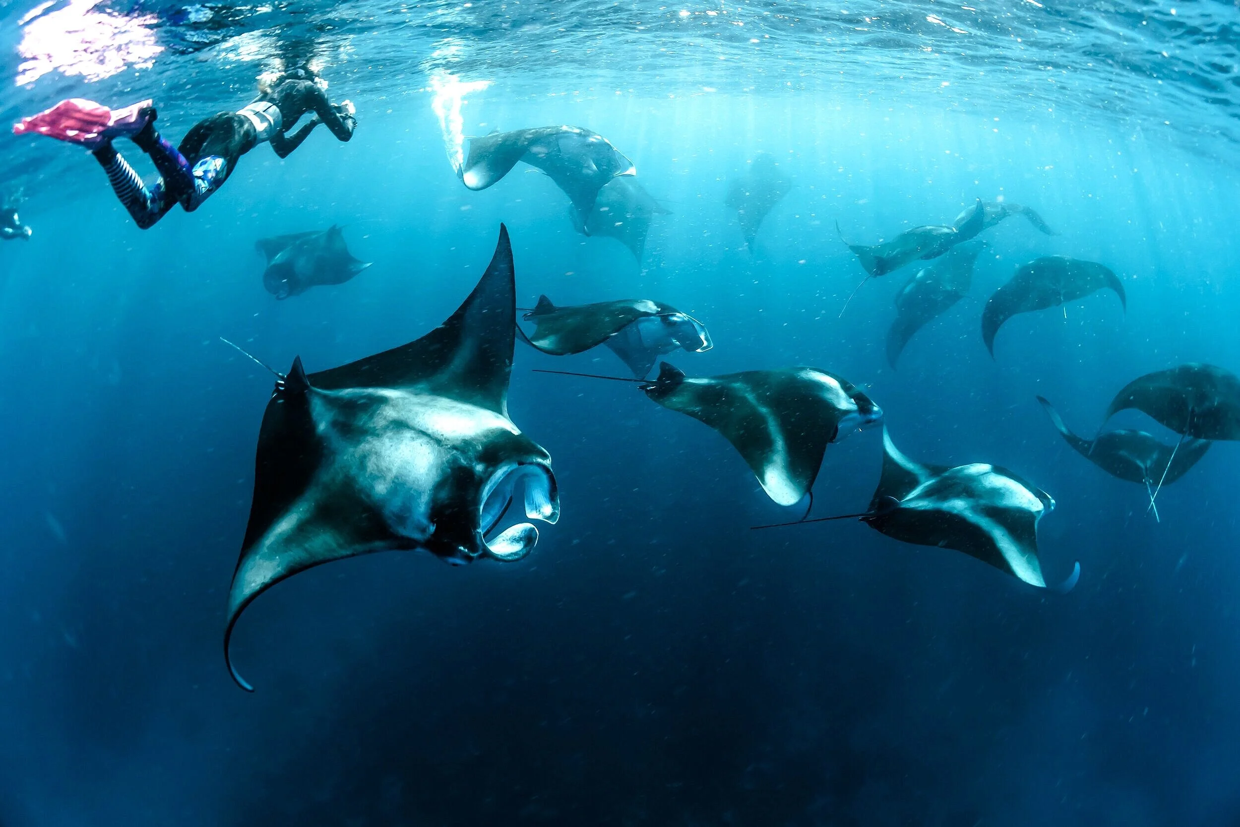
Wildlife
Monitoring
To prevent declining in the marine wildlife population it is necessary to diminish anthropogenic threats in protected areas. Wildlife Tracker has an alert system connected with the user’s personal smartphone that can be configured based on anthropogenic threats or customized geofence.
Earth
Observation
The parameters of habitat are essential information for the delimitation of protected areas. Wildlife Tracker can retrieve real-time ocean parameters from Copernicus Marine Service like Sea Surface Temperature (SST) and Chlorophyll concentration (Chl-a) that you can download on your computer.
Data
Analytics
Generate up-to-date statistics based on movement analytics. Wildlife Tracker is powered by Movingpandas and is able to calculate metrics such as daily traveled distances, time spent in protected areas, duration of stops with spatial-temporal parameters, and activity space.
Wildlife Tracker EO
The geo-framework is designed to annotate biologging data matching time and location with Earth Observation data.
The statistics of annotated datasets are used in animal behavior and ecosystem modelling research
next to the Galapagos Whale Shark Project in the “Galapagos Marine Reserve”
Check the product and methodology

Eco-annotation of Ocean variables
The new algorithm in the Wildlife Tracker EO can annotate every location and time of the biologging dataset with EO data from Copernicus Marine Service such as SST, Chla, Phytoplankton PP, and Oxygen concentration

Nearest Neighbor interpolation of EO data
The eco-annotation interpolates the nearest neighbor of EO values such as Oxygen concentration to every location and time. Read about the methodology and how we are using this algorithm for ecosystem modelling, animal behavior research, and MPAs management.
Wildlife Tracker EO
DEMO
Real-time geo-framework with EO data.
Sky the whale shark movements with Sea Surface Temperature from Copernicus Marine Service
The Wildlife Tracker has a privacy policy validated with Movebank for secure access.
We do not store any personal information from our geo-framework.