Discover the power of
real-time GIS
Wildlife monitoring for ecological conservation
“Wildlife Tracker is a cloud processing tool dedicated to
create web map animations of wildlife movements
overlaid with ocean monitoring data”

A tool for
Movement Analytics
Migration updates and habitat statistics
Applications
-
Ecology
Conservation of habitats
based on activity space delimitation
with wildlife movements -
Monitoring
Real-time updates of tags
with eco-geographical variables
during migration pathways -
Protection
Alert system customized with
levels of anthropogenic threats
such as illegal captures -
Planning
Assessment of new conservation
areas based on wildlife hotspots
and migration routes
Gallery
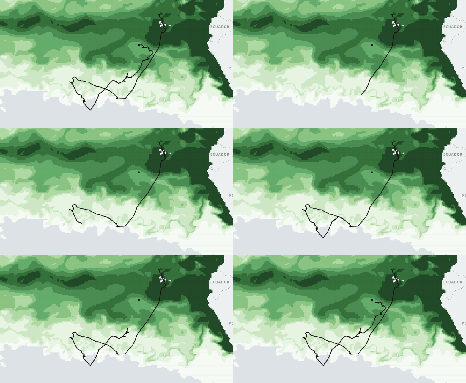
Wildlife Tracker EO and Copernicus Marine Service
next to the Galapagos Whale Shark Project
Wildlife Tracker EO and movement algorithms
with Movingpandas

Dive with us!
Conservation stories told with geospatial data
An overview of the new release Wildlife Tracker EO!
The implementation of the Wildlife Tracker in the “Galapagos Marine Reserve” brings geospatial solutions to the monitoring of Whale Sharks (Rhincodon typus) in collaboration with the Galapagos Whale Shark Project. The main applications are:
Web map animations of wildlife movements
Overlay with ocean data like SST, Chl-a, and O2
Alert system based on anthropogenic threats
Eco-geographical annotation of EO data - NEW!
“Be part of this inspiring project and support
geospatial technologies for ecological conservation”


